
 PL
PL
 EN
EN
 DE
DE


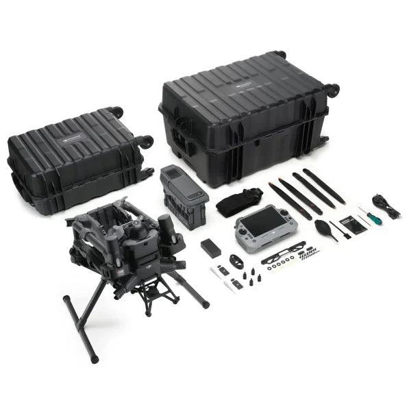
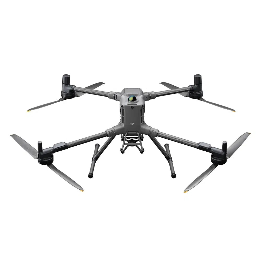
DJI Matrice 400 RTK – LiDAR kit (Zenmuse L2 + D-RTK 3)
An advanced UAV system for 3D scanning, surveying, and terrain analysis, combining LiDAR technology with precise RTK positioning. The Zenmuse L2 scanner generates up to 1.2 million points per second, penetrates dense vegetation, and delivers colored point clouds in real time. Accuracy of 5 cm H / 4 cm V at 150 m with RTK FIX.
1.2 million pts/s
Max. point cloud density (multi-return)
450 m
L2 scanning range
5 cm / 4 cm
H/V accuracy (RTK FIX)
59 min
Max. M400 flight time
Kit contents
- Drone DJI Matrice 400 RTK
- Battery DJI TB100 (977 Wh)
- Charging station DJI BS100
- LiDAR DJI Zenmuse L2
- RTK station DJI D-RTK 3
- Tripod and pole Tripod & Stake D-RTK 3
Why is this kit ideal for LiDAR scanning?
- Up to 1.2 million points per second — dense point clouds for complex terrain
- 5 echo returns — penetration of dense vegetation, ground measurement under trees
- Independence from lighting conditions — scanning day and night
- RGB camera 4/3" 20 MP — colored point clouds and orthophotos in a single flight
- No IMU warm-up — immediate mission readiness
- Real-time point cloud preview on the controller screen
- One-Click Processing in DJI Terra — fast DEM and 3D model generation
DJI Zenmuse L2 – LiDAR system specification
| LiDAR type | Frame-based LiDAR (non-rotating) |
|---|---|
| Point cloud density | Up to 240,000 pts/s (single return) Up to 1,200,000 pts/s (multi-return) |
| Number of echo returns | 5 (penta-return) — vegetation penetration |
| Scanning range | 450 m @ 50% reflectivity, 0 klx 250 m @ 10% reflectivity, 100 klx |
| Range accuracy | 2 cm @ 150 m |
| System accuracy (RTK FIX) | H: 5 cm @ 150 m / V: 4 cm @ 150 m |
| Scanning modes | Repetitive (high precision) / Non-Repetitive (deeper penetration) |
| Flight speed | Up to 15 m/s |
| RGB camera | 4/3" CMOS, 20 MP, mechanical shutter, 0.7 s interval |
| Point cloud coloring | Reflectivity, height, distance, RGB |
| IMU | Proprietary high-precision system — no warm-up |
| Export formats | LAS, PLY, PCD, PNTS, S3MB |
| Protection | IP54 |
DJI Matrice 400 – platform performance
- Flight time: 59 minutes (flight) / 53 min (hover)
- Speed: up to 25 m/s
- Transmission range: up to 40 km (FCC)
- Wind resistance: 12 m/s
- Operating altitude: up to 7000 m above sea level
- Weight with battery: 9.74 kg
Safety systems
- 360° Rotating LiDAR — 520,000 pts/s, detects 21.6 mm cables at 25 m/s
- 6-directional mmWave radar — detection in rain and darkness
- 360° Vision system — Low-Light fisheye
- ADS-B In up to 20 km
Transmission and connectivity
- O4 Enterprise Enhanced — 40 km (FCC)
- Built-in repeater module
- Sub-2G + 4G (2× DJI Cellular Dongle 2)
M400 technical specifications
| Weight (with TB100 battery) | 9740 ±40 g |
|---|---|
| Payload capacity | Up to 6 kg |
| Max. flight time | 59 min (flight) / 53 min (hover) |
| Range (FCC / CE) | 40 km / 20 km |
| Ingress protection rating | IP55 |
| Operating temperature | -20°C to +50°C |
| Battery | DJI TB100, 977 Wh |
| RTK | H: 1 cm + 1 ppm / V: 1.5 cm + 1 ppm |
FAQ
What is the difference between L2 and the previous generation L1?
The L2 has over 3 times higher point cloud density than L1, a 30% greater range (450 vs. 350 m), 5 echo returns (L1: 3), a 4/3" RGB camera (L1: 1"), no IMU warm-up (L1: 5–10 minutes), and a range accuracy of 2 cm vs. 3 cm in L1.
Does L2 scan at night?
Yes – LiDAR is independent of visible light. The RGB camera operates in daylight conditions, but the point cloud itself is generated regardless of the time of day or night.
What software supports L2?
DJI Terra – one-click processing, DEM and 3D model generation. Export to LAS, PLY, PCD, and S3MB allows further processing in ArcGIS, QGIS, Terrasolid, CloudCompare, and other industry tools.
What applications is this kit suitable for?
Surveying and topographic measurements, forestry (tree canopy models and DEMs under vegetation), power line inspections, construction site and volume monitoring, mining (heap volumes), flood area modeling, and infrastructure.