
 PL
PL
 EN
EN
 DE
DE

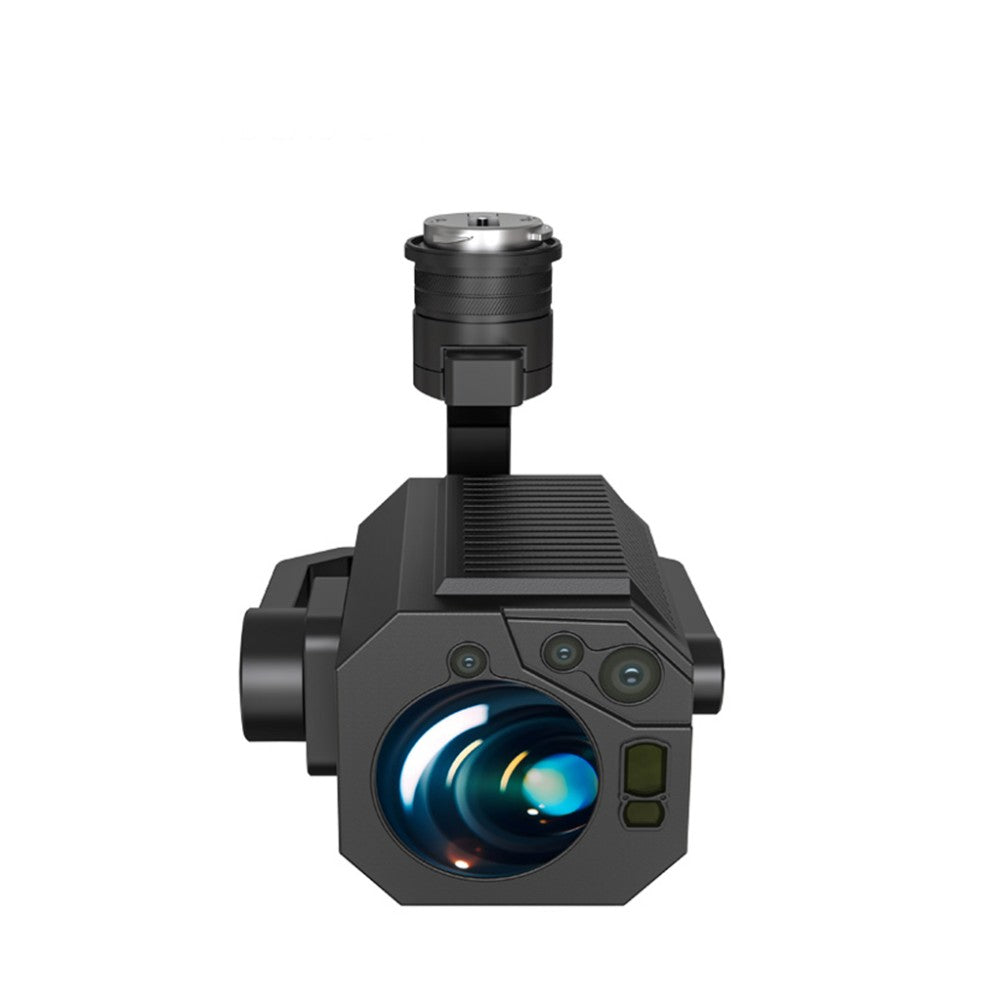
BLV CH4 – drone methane detector (TDLAS, 300 m, from 5 ppm)
BLV CH4 is a payload for DJI Matrice 300/350 RTK drones enabling remote methane detection using TDLAS technology (1650 nm laser) from a distance of up to 300 m, from a concentration of 5 ppm. 0.1 s response time, GPS+CSV data recording to microSD, HEQ Captain application. 3-axis gimbal, IP54, 770 g.

300 m
Detection range
5 ppm
Minimum detectable concentration
0.1 s
Response time
1650 nm
Laser wavelength (TDLAS)
Applications
- Gas pipeline inspection — leak detection without direct contact
- Control of LNG, LPG installations and biogas plants
- Waste landfill monitoring (methane emissions)
- Energy industry and environmental research
Data and software
- Live concentration view (ppm, ppm·m)
- Recording to microSD (CSV) with GPS coordinates
- HEQ Captain application — mission planning, visualization, data export
- 1080p FHD camera — visual documentation parallel to measurement
Technical specifications
| Detected gas | Methane (CH4) |
|---|---|
| Technology | TDLAS, 1650 nm laser |
| Sensitivity | From 5 ppm |
| Measurement range | 0–99999 ppm·m |
| Range | Up to 300 m |
| Response time | 0.1 s |
| Camera | 1080p FHD |
| Gimbal | 3-axis (yaw / pitch / roll) |
| Interface | DJI SkyPort V2 |
| Data recording | microSD (CSV + GPS) |
| Protection rating | IP54 |
| Operating temperature | -20°C to +50°C |
| Weight | 770 g |
Compatibility
| Drones | DJI Matrice 300 RTK DJI Matrice 350 RTK |
|---|
FAQ
Why TDLAS instead of an electrochemical gas sensor?
TDLAS (Tunable Diode Laser Absorption Spectroscopy) technology enables detection from a distance of up to 300 m without contact with gas — traditional electrochemical sensors require direct exposure. TDLAS is also selective for CH4 and resistant to interference from other gases.
What does the unit ppm·m mean?
ppm·m (parts per million × meters) is the integrated gas concentration along the laser path — a measure of the total amount of methane in the air column between the sensor and the object, independent of the measurement distance.
Can data be exported to GIS?
Yes — CSV with GPS coordinates can be imported into GIS software (e.g., QGIS, ArcGIS) to create emission maps.