
 PL
PL
 EN
EN
 DE
DE

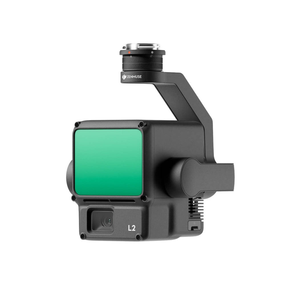
DJI Zenmuse L2 – LiDAR + RGB system (1.2 million pts/s, 450m, 5 returns)
DJI Zenmuse L2 is an enterprise-grade LiDAR system combining a laser scanner, a 4/3" 20 MP RGB mapping camera, and a high-precision 200 Hz IMU. Up to 1.2 million points per second (multi-return), 450 m range, 5 echo returns, 5 cm H / 4 cm V accuracy at 150 m with RTK FIX. No IMU warm-up — instant readiness.
1.2 million pts/s
Point cloud density (multi-return)
450 m
Range (50% reflectivity)
5 cm / 4 cm
H/V accuracy @ 150 m
5
Echo returns (penetration)
LiDAR Specification
| Detection Range | 450 m @ 50% reflectivity, 0 klx 250 m @ 10% reflectivity, 100 klx |
|---|---|
| System Accuracy (RTK FIX) | H: 5 cm @ 150 m / V: 4 cm @ 150 m |
| Range Accuracy (RMS) | 2 cm @ 150 m |
| Point Cloud Density | Up to 240,000 pts/s (single) / up to 1,200,000 pts/s (multi) |
| Number of Returns | Up to 5 (penta-return) |
| Scan Modes | Repetitive (70°×3°) / Non-repetitive (70°×75°) |
| Pulse Rate | 240 kHz |
| Wavelength | 905 nm, Class 1 (IEC 60825-1:2014) |
| Cloud Coloring | RGB, reflectivity, height, distance |
IMU and RTK System
| IMU Frequency | 200 Hz |
|---|---|
| Yaw Accuracy | 0.2° (RT) / 0.05° (post-processing) |
| Pitch/Roll Accuracy | 0.05° (RT) / 0.025° (post-processing) |
| RTK Positioning | H: 1 cm + 1 ppm / V: 1.5 cm + 1 ppm |
RGB Camera
| Sensor | 4/3" CMOS, 20 MP |
|---|---|
| Focal Length | 24 mm (equivalent) |
| Aperture | f/2.8 – f/11 |
| Photo Resolution | 5280×3956 |
| Formats | JPEG / DNG (RAW) |
| Video | 4K (3840×2160) @ 30 fps |
| Interval | 0.7 s (min.) |
General Specification
| Weight | 905 ±5 g |
|---|---|
| Dimensions | 155×128×176 mm |
| Gimbal | 3-axis, 0.01° accuracy, DJI SkyPort |
| Ingress Protection | IP54 |
| Operating Temperature | -20°C to +50°C |
| Storage | microSD, UHS-I, min. 50 MB/s, up to 256 GB |
| Export Formats | LAS, PLY, PCD, PNTS, S3MB |
| Software | DJI Terra |
| Compatibility | DJI Matrice 400, DJI Matrice 350 RTK, DJI Matrice 300 RTK |
Package Contents
| DJI Zenmuse L2 | × 1 |
|---|---|
| DJI Care Enterprise Basic | × 1 |
FAQ
Does L2 penetrate dense vegetation?
Yes — 5 echo returns (penta-return) allow it to penetrate through tree canopy layers and collect ground points beneath vegetation.
Is IMU warm-up required before flight?
No — L2 is ready immediately after obtaining an RTK FIX. L1 required 5–10 minutes of warm-up.
What software supports L2?
DJI Terra — one-click processing, DEM generation, ground classification. Exports to LAS/PLY/PCD compatible with ArcGIS, QGIS, CloudCompare, and Terrasolid.