


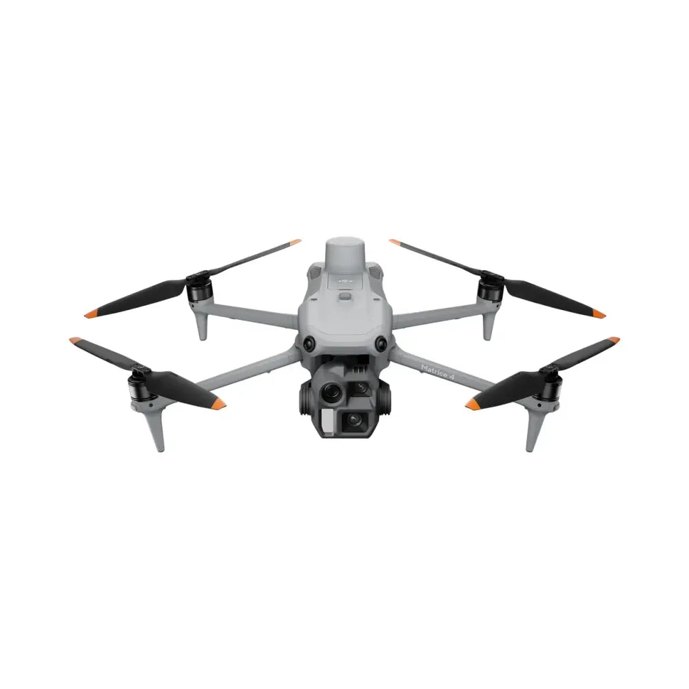
DJI Matrice 4E – RTK Drone for Mapping and Photogrammetry
The DJI Matrice 4E is a professional enterprise drone designed for terrain mapping, 3D photogrammetry, and surveying applications. Its 4/3" CMOS camera with a mechanical shutter eliminates the rolling shutter effect, and a 0.5-second interval and mapping speed of up to 21 m/s allow it to cover 2.8 km² in a single flight without ground control points (GCPs). The RTK system ensures centimeter-level accuracy.
Flight time up to 49 minutes, O4 Enterprise range 25 km (FCC) / 12 km (CE), EASA C2 class, take-off time 15 seconds.
49 min
Max. flight time
2.8 km²
Coverage in one flight
0.5 s
Photo interval
without GCPs
RTK mapping (wide camera)
Camera System – Uncompromising Precision
| Wide-angle camera | 4/3" CMOS, 20 MP, f/2.8–f/11, 24 mm, FOV 84° Mechanical shutter, 0.5 s interval, JPEG + RAW Distortion Correction 2.0 |
|---|---|
| Medium telephoto camera (3×) | 1/1.3" CMOS, 48 MP, f/2.8, 70 mm, FOV 35° |
| Telephoto camera (7×) | 1/1.5" CMOS, 48 MP, f/2.8, 168 mm, FOV 15° 112× Hybrid Zoom |
| Laser rangefinder | Range 1800 m (1 Hz), accuracy ±(0.2 + 0.0015×D) m |
Mapping 2.8 km² in one flight: The 4/3" camera supports 5-directional
oblique photography and 3-directional orthophoto, with a 0.5-second interval at speeds
up to 21 m/s. In-camera distortion correction (Distortion Correction 2.0) and Smart 3D Capture
generate ready-to-use mission routes for complex buildings directly on the controller.
This is the only camera in the M4 series that supports mapping without GCPs.
Key Features of DJI Matrice 4E
- 4/3" CMOS camera with mechanical shutter — no rolling shutter, 0.5 s interval
- Mapping without GCPs — RTK ensures centimeter-level accuracy
- 5-directional oblique photos and 3-directional orthophotos in one flight
- Smart 3D Capture — automatic routes for complex building models
- 100 MP Panorama (stitched from 20 MP photos)
- 1800 m laser rangefinder — precise distance measurements
- Flight time up to 49 minutes, 25 km range (FCC)
- Mission quality reports — analysis of coverage, overlap, and RTK status in the field
Safety and Intelligent Flight Functions
- Omnidirectional obstacle detection system (binocular vision + 3D IR)
- Obstacle avoidance at speeds up to 21 m/s
- Vision positioning in low GNSS signal conditions
- GNSS interference resistance
- RTH with real-time position updates
- Integration with DJI FlightHub 2 and DJI Terra
Technical Specification
| Model | DJI Matrice 4E |
|---|---|
| EASA Class | C2 |
| Max. Takeoff Weight | 1420 g |
| Max. Flight Time | Up to 49 minutes |
| Max. Speed | 21 m/s (Sport) |
| Wind Resistance | Up to 12 m/s |
| Transmission System | DJI O4 Enterprise |
| Range (FCC / CE) | 25 km / 12 km |
| RTK GNSS | GPS, Galileo, BeiDou, GLONASS H: 1 cm + 1 ppm / V: 1.5 cm + 1 ppm |
| Take-off Time | Approx. 15 seconds |
Applications of DJI Matrice 4E
- Terrain mapping and 3D photogrammetry
- Surveying and orthophoto generation
- Monitoring project progress and construction work
- Spatial analysis and planning
- Long-range technical infrastructure inspections
- Mining — inventory of spoil heaps and volume measurement
DJI Matrice 4E vs DJI Matrice 4T
- DJI Matrice 4E — mapping, RTK, photogrammetry, surveying
- DJI Matrice 4T — thermal imaging, inspections, rescue, public safety
Comparison of DJI Matrice 4E vs 4T – applications and differences